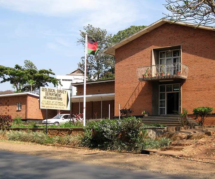
Geological Survey Department (GSD)
Malawi
The core objective of the assignment comprises the development of a GIS-based central data repository a management backend, and a data catalogue, which will be accessible through the internet. The final system will thus support GSD in the management, valorisation, and dissemination of geoscientific data.
In practical terms, project components include:
- Assessment of capacities and user requirements at the Geological Survey Department;
- Identification and involvement of relevant stakeholders and related programs;
- Inventory of existing geoscientific and mine operation data;
- Organisation and supervision of scanning and digitising of existing analogue geological, geochemical, geophysical, and geo-hazard data;
- Data quality control and database integration;
- System and database design, compilation, and implementation;
- Software development, prototyping, and training.
The contract has a duration of twelve months and is embedded in the “Mining Governance and Growth Support Project (MGGSP)”, with support from the World Bank and the European Union. With more than a decade of experience in the development and implementation of GIS-based geological and mineral information systems, GAF developed the GeMinIS platform to support mineral and natural resource management. The GDMIS in Malawi is a customized version of the GeMinIS.